Checkerboard Mesa | Zion National Park Hikes | Zion National Park Hiking Trails
Zion Hiking Trails: Checkerboard Mesa Hike in Zion National Park
Trail name: Checkerboard Mesa
Location: Zion National Park
Difficulty: Difficult
Length: Two miles roundtrip
Elevation Gain: 900 feet
Average time: 2–3 hours
Family-friendly: Not suitable for younger children
Dog-friendly: Dogs are not allowed
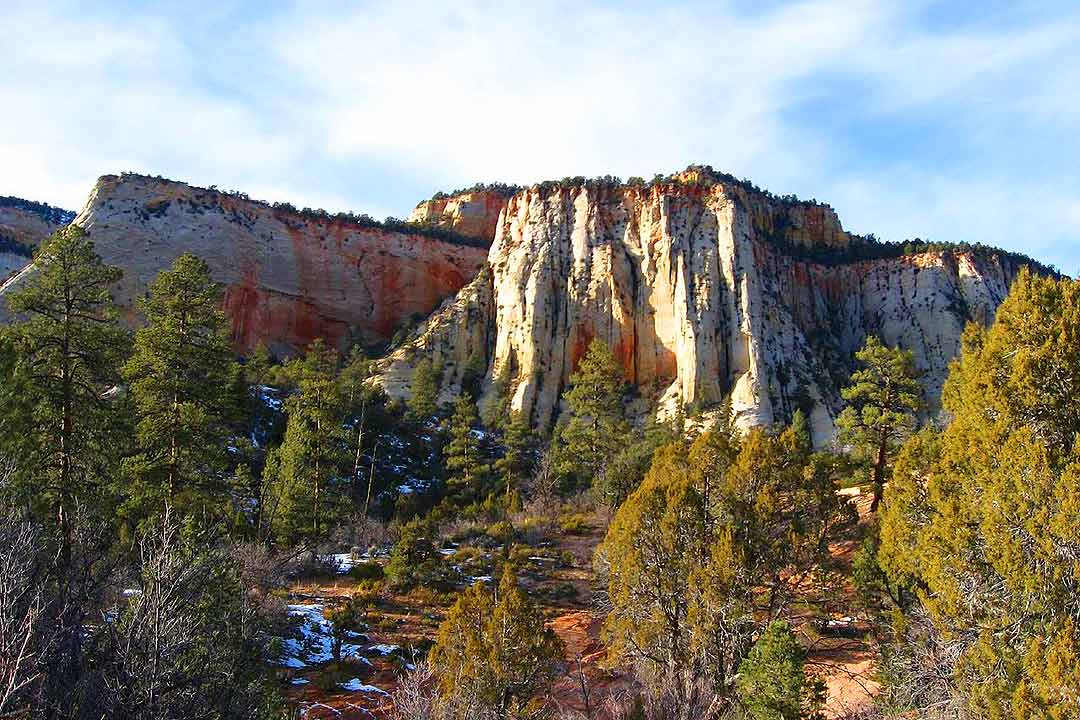
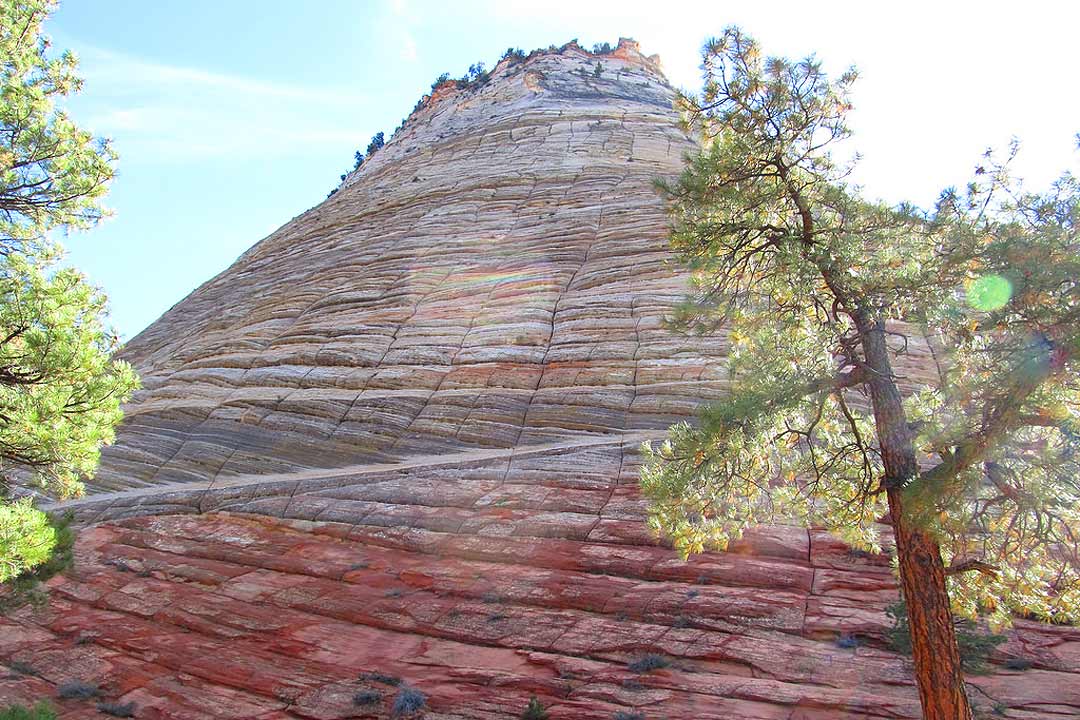
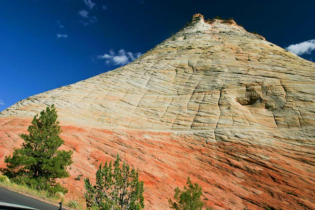
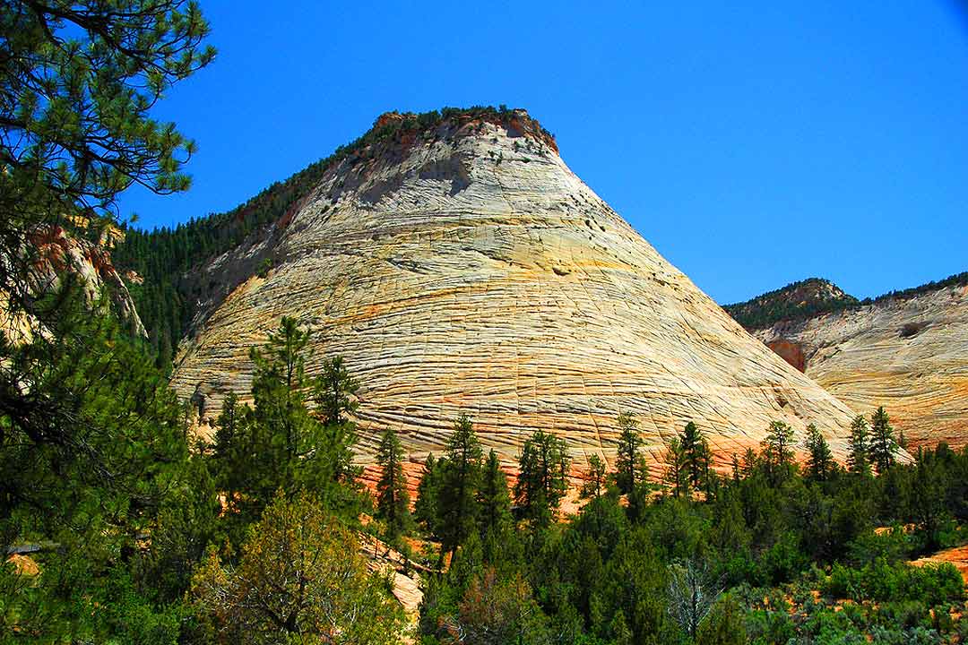
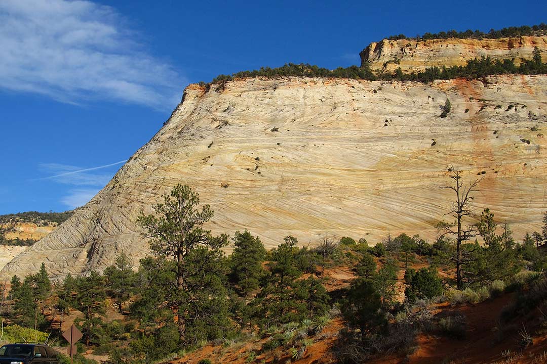
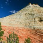
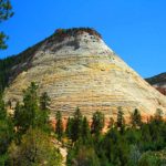
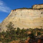
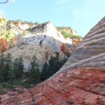
Located on Zion National Park’s less-visited east side is one of the park’s iconic landmarks, Checkerboard Mesa. A hike up the mesa is an exciting journey filled with breathtaking scenery and solitary panoramas.
Access
Pay the entry fees or show a pass at the entrance of Zion National Park. When State Route 9 intersects the main canyon, continue straight through the Mt. Carmel Tunnel after 3.5 miles. About a mile after emerging from the tunnel, you’ll reach the Checkerboard Mesa viewpoint on the western (lefthand) side of the highway where you can park.
The trail
Trails along the side of the highway lead to checkerboard Mesa. At the base of the mountain, follow trails and slick rock into the
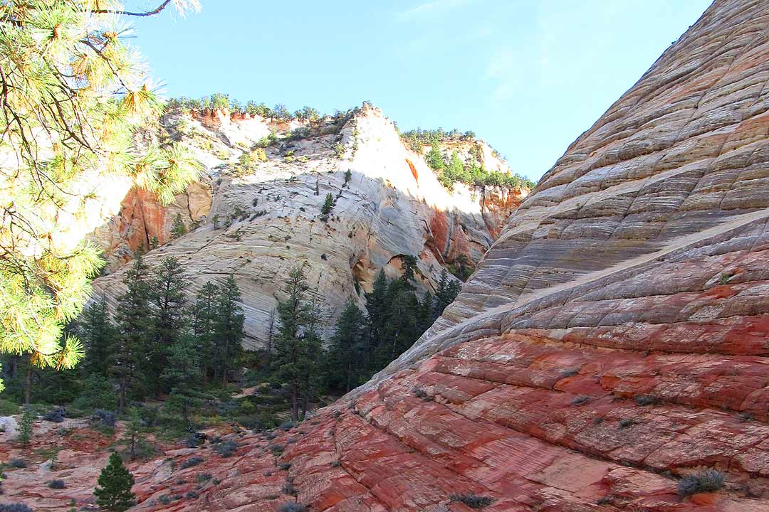
There is a drainage on the eastern side of Checkerboard Mesa, Follow the trails and slickrock into the drainage, which you will see to the left when facing the mesa. The drainage will narrow into a small slot canyon.
When you ascend the canyon, you have two options, and one is easier than the other.
If you are hiking with children, opt for the easier route. Trails ascend the steep slope on the left side of the canyon, winding through the trees and undergrowth. Although the trail is steep, it is relatively safe.
Those who love scrambling may enjoy the second option, which is significantly more difficult. Simply follow the canyon floor directly. There are several steep steps but nothing that should require a rope. Even so, use caution.
Regardless of which route you take, the trail is fairly obvious, although the initial ascent is the most difficult portion of the hike. Follow the trails or the canyon as they scale the gulch, which will eventually merge with the brushy trails. You’ll reach the saddle between Checkerboard Mesa and an unnamed formation to the east in about 0.25 mile. Here, make a right turn and follow a westward trail through the brush. The mesa top is only a few hundred yards away. Once you’re there, the worst is over.
Head north and follow discontinuous trails. The easiest route roughly follows the eastern rim. Soon the views to the north and west begin to open up. Hike to northernmost end of the plateau for the best views as well as a perfect picnic area. Enjoy the incredible scenery and a well-deserved rest.
As always, pack a camera, plenty of water, and snacks.
